Amari Valley
- Rating
- 3.5
- km · length
- 25
- km · Spili
- 11
20 nearbyChurch of Saint Paraskevi at Kalogeros, Panagia Kera church at Amari, Genna olive tree
Lees het verhaal
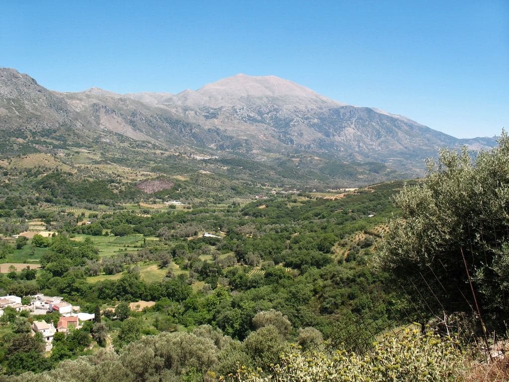
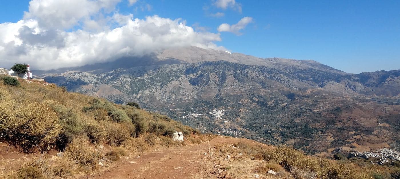
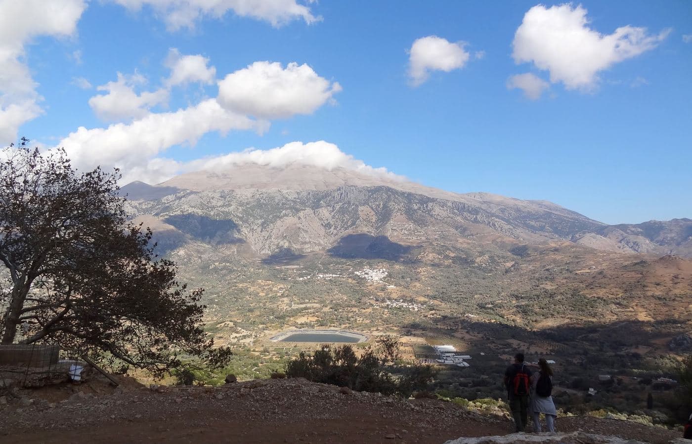
Amari valley is formed between the ranges Kedros and Psiloritis , with altitude fluctuating from 400 to 500m and is 25km long. It is the natural passage from the north prefecture of Rethymno to the south and Messara Plain .
For its strategic location, it was the theater of several historical events, especially during the Ottoman rule. The valley is adorned with picturesque villages, with the largest being Fourfouras .
Amari is one of the areas of Crete with the most rainfalls; indeed its name is taken after amara that it an ancient greek word for a water channel. Platys River starts from Amari and exits in Agia Galini , while there is one of the largest dams in Crete, the dam of Potami .
Byzantine churches , Minoan settlements and wild mountains are dispersed throughout the entire county. The gorge of Patsos with the cave of Saint Anthony , the ancient town of Sivrytos , the monastery of Asomati , the Minoan settlements in Monastiraki and Apodoulou are the most famous sights of Amari.
Be the first to review this place
Leave a review for Amari Valley