What Is the E4 Trail in Crete?
The E4 trail in Crete is the island's longest marked hiking route, stretching approximately 320 kilometers from Kissamos in the far west to Kato Zakros on the eastern coast. It forms part of the E4 European Long Distance Path, a network connecting Gibraltar to Cyprus across southern Europe.
On Crete, the E4 is not a purpose-built trail. It follows a combination of ancient kalderimi (cobbled mule paths), mountain tracks, and occasional paved sections. Elevation ranges from sea level to above 1,800 meters in the White Mountains and Psiloritis range. The route is waymarked with yellow and black painted poles and rock cairns — though marking quality varies significantly between sections, and some stretches require active navigation.
The full traverse crosses three major mountain massifs: the Lefka Ori (White Mountains) in the west, Psiloritis (Mount Ida) in the center at 2,456 meters — the island's highest peak — and the Dikti Mountains in the east. Between these, the trail descends to coastal villages, crosses high plateaus, and passes through some of the island's deepest gorges.
Unlike the Alps or Pyrenees, the E4 in Crete has no hut-to-hut infrastructure designed for through-hikers. Services are scattered, and planning each stage around available water and accommodation is non-negotiable.
The Route: Kissamos to Kato Zakros
Most hikers travel west to east, starting in Kissamos and finishing at Kato Zakros. The full traverse takes between 20 and 30 days at a pace of 12–18 km per day, depending on terrain and your fitness. Below is a breakdown by region:
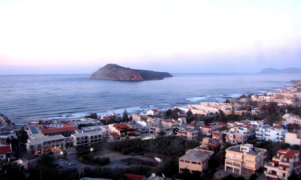
- Western Crete — Kissamos to Agia Roumeli (approx. 100 km): The most demanding section. The path crosses the White Mountains, passing through the Omalos plateau — the starting point of the Samaria Gorge hike — before descending to the southern coast at Agia Roumeli via remote mountain terrain. Expect rocky trails, exposed ridgelines above 1,600 meters, and minimal shade. Water sources are scarce after June.
- Central-West Crete — Agia Roumeli to Rethymno foothills (approx. 80 km): The trail heads east along the southern coast through Hora Sfakion before turning inland toward the Psiloritis foothills. This section passes through Sfakia villages with functioning tavernas and rooms to rent. More forgiving terrain than the White Mountains but still demanding.
- Central Crete — Psiloritis crossing (approx. 60 km): The highest point of the entire E4 in Crete. The path passes the Nida plateau at 1,400 meters and skirts the Psiloritis summit. Waymarks are sparse above 1,500 meters. Navigation using a paper 1:25,000 map (Anavasi Psiloritis sheet) is essential. The village of Zaros on the southern flank is a useful resupply point.
- Eastern Crete — Heraklion area to Kato Zakros (approx. 80 km): The terrain becomes lower and more arid. The path crosses the Lasithi plateau at 840 meters, passes through the Dikti foothills, and finishes with a descent through the Kato Zakros gorge to the sea. This section includes more road walking than the west.
Total ascent for the full route exceeds 15,000 meters. The western half accounts for roughly two-thirds of that elevation gain.
Best Time to Hike the E4 in Crete
Season choice is the single most consequential planning decision for long distance hiking in Crete. The mountain sections are genuinely dangerous in summer.
- April–June (Best overall): Temperatures at altitude range from 8–22°C. Wildflowers are at peak. Water sources are active across all sections. The Samaria Gorge opens around April 15, aligning with the start of optimal conditions in the White Mountains. This window is the strongest choice for a full traverse.
- September–October (Good, especially October): Cooler than summer, less crowded, but spring water sources may be dry after August — carry extra capacity. October offers stable weather and quieter trails. For context on shoulder season conditions across the island, see our guide on visiting Crete in October and November. Note that some mountain refuges close after mid-September.
- July–August (Avoid for mountain sections): Temperatures above 1,000 meters regularly exceed 35°C on exposed limestone. Heat exhaustion and dehydration risk on ridge sections is significant. The Samaria Gorge sometimes closes entirely due to fire risk. All reliable water sources above 600 meters dry up by late July. Coastal sections can still be hiked in the early morning.
- November–March (Mountain sections impassable): Snow closes the White Mountains and Psiloritis from December through March. The Samaria Gorge closes for winter from mid-November. Accommodation in mountain villages largely shuts down. Lower eastern sections remain walkable but services are minimal.
For a complete picture of seasonal weather patterns on the island, the guide on the best time to visit Crete covers month-by-month conditions in detail.
Costs and Accommodation on the E4
Budget between €40 and €75 per day for the E4, depending on how many nights you spend in mountain refuges versus village guesthouses, and how much you cook versus eat out.
- EOS (Greek Alpine Club) mountain refuges: Dormitory bunks cost €15–25 per person per night. Some include basic breakfast. Key refuges on the route include Kallergi refuge in the White Mountains (sleeps 45, accessible by dirt road from Omalos) and the Prinos refuge near Psiloritis. Advance booking is essential in May and June — call the Chania EOS section directly, as online booking is not always reliable.
- Village guesthouses and rented rooms: In villages along or near the E4 — Omalos, Hora Sfakion, Zaros, Lentas, Sitia — expect €30–55 for a private room. Facilities are basic. Always confirm by phone that accommodation is open, especially in early April and late October.
- Wild camping: Technically prohibited in national parks and protected areas, including Samaria. In practice, dispersed camping on remote ridges well away from villages is rarely challenged. Leave no trace standards apply. Do not camp in the Samaria National Park zone.
- Food: Village tavernas charge €9–16 for a full meal with a beer. In Agia Roumeli and Hora Sfakion, prices run 20–30% higher due to boat-dependent supply chains. Budget €20–30/day for food if eating at tavernas twice daily. Resupply options in mountain villages are limited — carry 2–3 days of trail food at all times.
For broader context on what spending looks like across Crete, the Crete budget travel guide breaks down typical expenses across accommodation, transport, and food categories.
Gear, Navigation, and Physical Preparation
The E4 in Crete is not a casual trekking route. The White Mountains section involves sustained scrambling over loose limestone scree, exposed ridgelines, and route-finding in terrain where waymarks disappear for kilometers at a time.
Essential gear:
- Trekking poles: Non-negotiable on descent sections. Loose scree on the White Mountains descent to Agia Roumeli will damage knees without poles over multiple days.
- Navigation: Anavasi 1:25,000 paper maps (three sheets cover Crete: Lefka Ori, Psiloritis, Eastern Crete). Supplement with Gaia GPS or Maps.me with the E4 GPX track downloaded offline. Do not rely on phone signal above 1,000 meters — coverage is absent across most mountain sections.
- Water capacity: Minimum 3-liter carrying capacity for White Mountains and Psiloritis sections. Refill at every confirmed spring — do not assume the next source on the map is flowing.
- Sun protection: Limestone reflects UV radiation, and shade above the treeline (approximately 1,100 meters) is minimal. SPF50 sunscreen, a full-brim hat, and a lightweight long-sleeve UV shirt are not optional in spring or autumn.
- First aid: Blister prevention kit, elastic ankle bandage, wound closure strips. The nearest hospital to the central White Mountains is in Chania — 45 to 90 minutes by road from trailheads, assuming you can reach a road.
Physical preparation: Only attempt the full traverse if you already hike regularly with a loaded 10–12 kg pack over multiple consecutive days. The western section alone involves approximately 8,000 meters of cumulative elevation gain in the first five or six days. First-time visitors to Crete's mountains should start with individual sections — the Samaria Gorge, the Lasithi sections in the east, or the Zaros-to-Rethymno central stretch — before committing to the full route.
Getting There: Airports, Transport, and Logistics
The western trailhead in Kissamos is 45 minutes by car from Chania. For the full E4, Chania airport is the logical entry point — it puts you 45 minutes from the start versus a 3-hour drive from Heraklion. Our guide comparing Chania vs Heraklion airport covers the practical differences, including route options and car rental availability at each.
From Chania city, KTEL buses run to Kissamos (€4.50, approximately 12 daily departures, journey time 50 minutes). Taxis cost €45–55. The eastern terminus at Kato Zakros is more isolated: the nearest town is Sitia, 40 km away. Bus service to Kato Zakros runs once or twice daily in season (April–October) and is unreliable off-season. Arrange a taxi in advance if finishing there (approximately €50–60 from Sitia).
Key transport links for section hikers:
- Agia Roumeli ↔ Hora Sfakion: ferry (€10, several daily departures in season — no road access)
- Hora Sfakion ↔ Chania: KTEL bus (€8, 2 hours)
- Zaros ↔ Heraklion: local bus (€5, 1 hour)
- Sitia ↔ Heraklion: KTEL bus (€17.50, 3 hours)
For section hikers, the most practical approach is to base in Chania or Heraklion and do staged out-and-back sections rather than moving accommodations every night. Car rental significantly increases flexibility — but book well in advance for spring and early autumn, and read up on the common issues detailed in our Crete car rental guide before signing anything.