Ziros Plateau
- Rating
- 4.3
- km · length
- 0.7,2.5,2.5,2.7
- difficulty
- Moderate
- km · Sitia
- 15
20 nearbyZiros Lake, Voila Tower, Church of Saint George in Voila
Leggi la storia
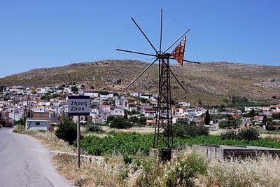
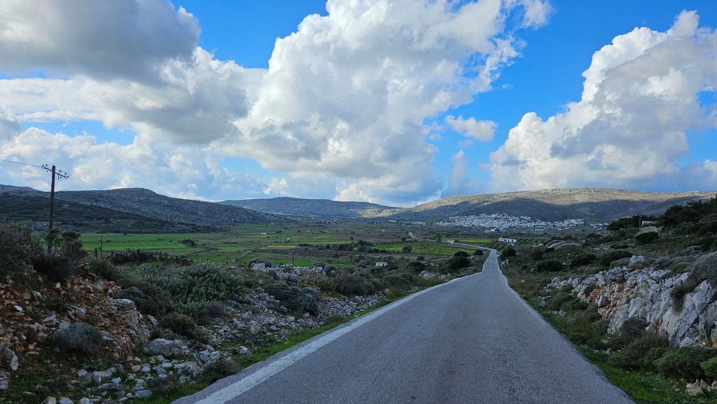
The small plateau of Ziros lies east of Armenohandrades plateau , at the point where the economic centre of the area, the village Ziros , is located. The village is picturesque and here you will find very basic services, such as gas station and bank.
Ziros has faced a modest growth, a key driver of which is the military camp with the radar of the Greek Air Force, standing on a neighboring mountain. Vineyards and gardens are cultivated on this small fertile plateau.
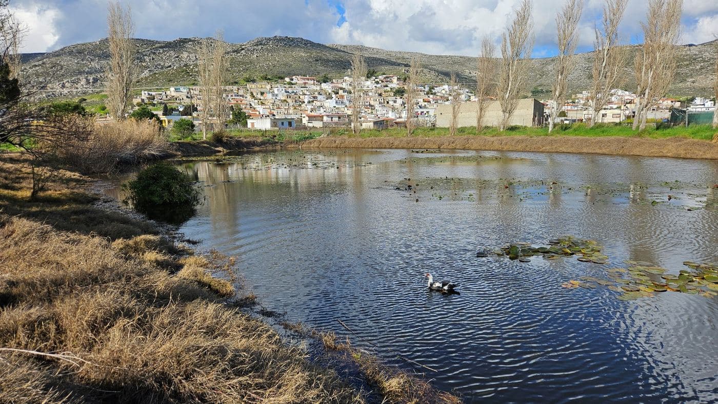
Typical is the use of metal windmills for pumping water, such as mills in the Lasithi Plateau , and there are some small lakes . Ziros is the starting point of the narrow snake-like road with the countless turns, running close to the deserted villages Hametoulio and Lamnoni and ends at the beautiful beaches of Xerokambos .
The narrow track is really majestic, crossing the wild and arid mountains and overlooking the turquoise waters of Mazida beach , the small islands Kavali and, in the background, Koufonisi Island . It is certain that in many places, you will stop to take many photos.
Be the first to review this place
Leave a review for Ziros Plateau