Zurück zur Karte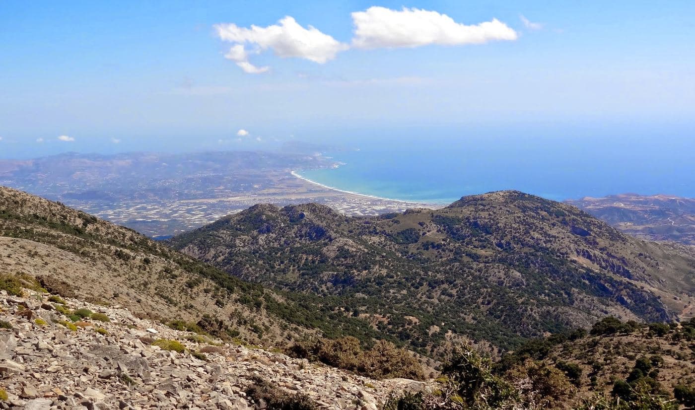
Berge · Rethymnon Prefecture
Shelter Toumbotos Prinos
- Bewertung
- 4.7
- km · Länge
- 4
- Schwierigkeit
- Mittel
- Dauer
- 3h
- km · Anogeia
- 14
Anogeia
20 in der NähePardi Wood, Timios Stavros Peak, Trail Nida - Timios Stavros - Toumbotos Prinos
Die Geschichte lesen
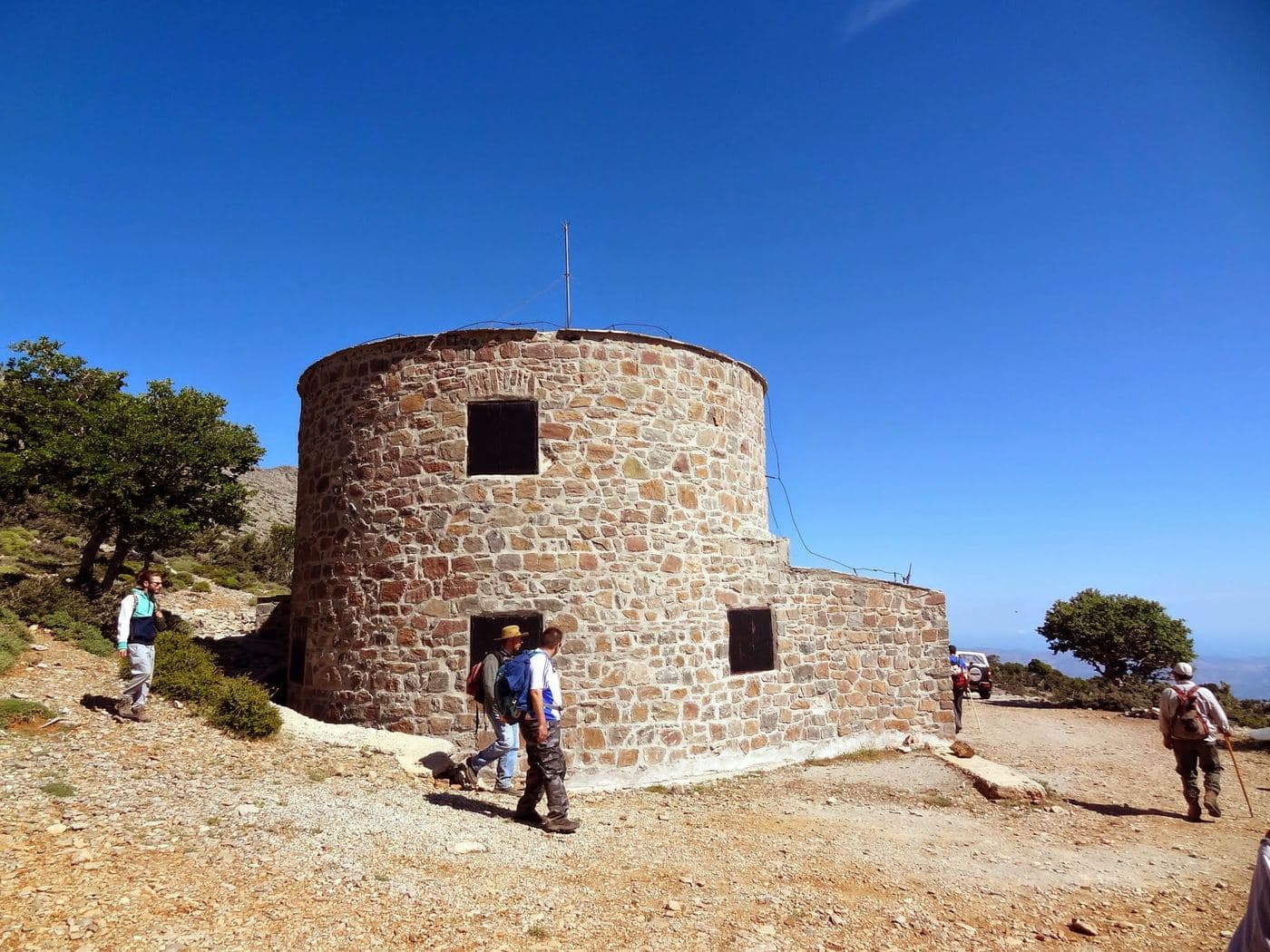
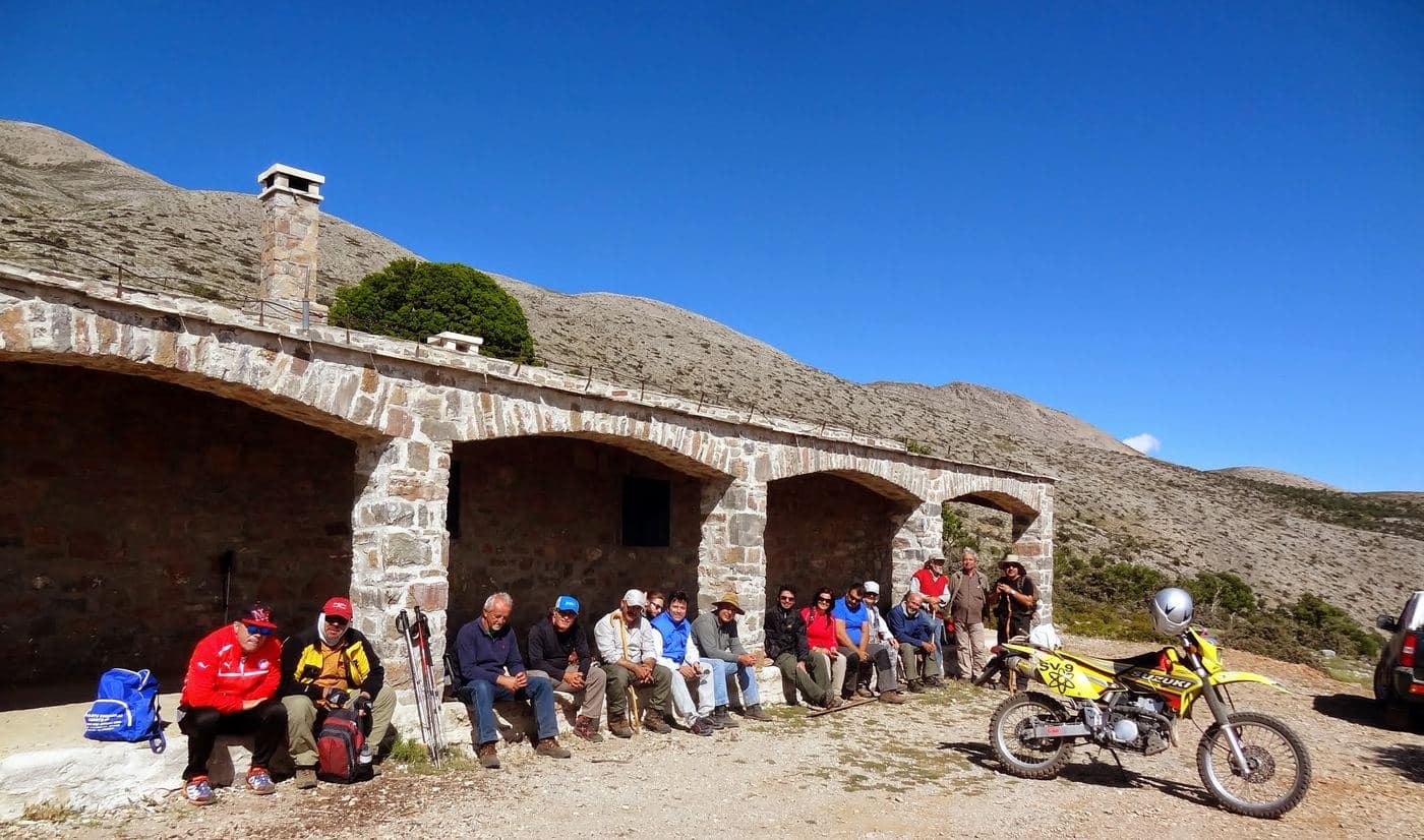
The mountain shelter of Samari or Toumbotos Prinos is located at an altitude of 1600m on the western outskirts of Psiloritis Mount . The shelter can be accessed by hiking 4 hours from Fourfouras village in a part of the European E4 foot trail or driving in a 12km long dirt road starting from the village Kouroutes .
From here one can continue climbing to the highest peak of Psiloritis, Timios Stavros (3 hours). The shelter was built in 1984 and can accommodate 30 people.
It is available upon request to its operator, i.e. the Mountaineering Club of Rethymno (eosrethymnou.gr).
Schreibe die erste Bewertung
Bewertung abgeben für Shelter Toumbotos Prinos