Samaria Gorge
- Bewertung
- 3.6
- km · Länge
- 14.5
- Schwierigkeit
- Schwer
- Dauer
- 5h
- km · Paleochora
- 23
22 in der NäheIn fact, the gorge is, The walk through Samaria Natural Park is, Path to Gigilos peak
Die Geschichte lesen
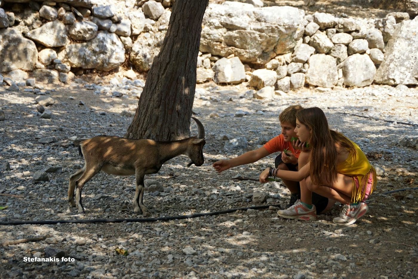
The Samaria Gorge is the most famous trekking gorge in Europe and a part of the European E4 hiking trail . Thousands of tourists flock here daily in the summer season to walk from the top to the bottom.
For many visitors, it is the sole purpose of their visit to Crete. The length of the gorge reaches 14.5km and takes almost 5-7 hours to hike from Xyloskalo at Omalos plateau to Agia Roumeli , depending on the trekking pace.
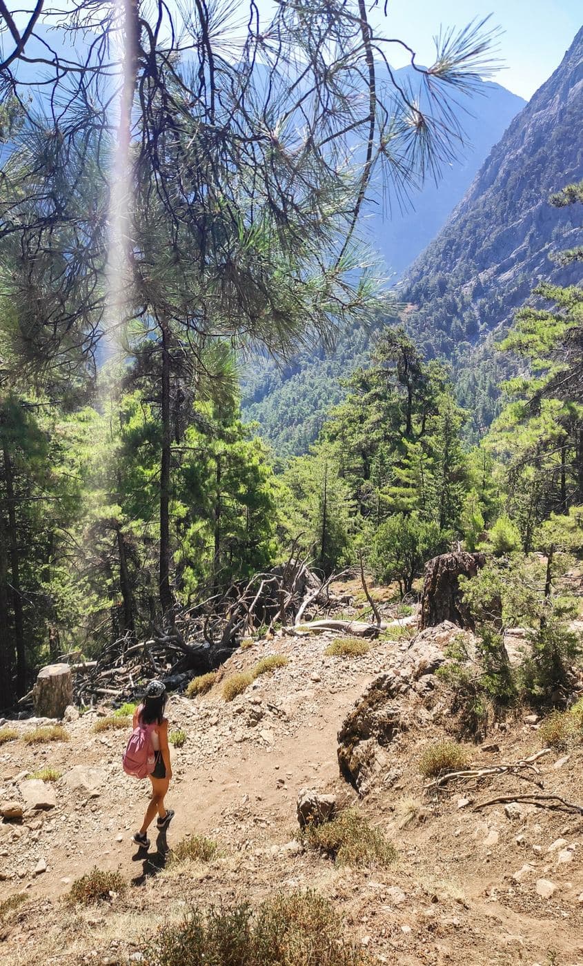
Initially we descend from Xyloskalo to the riverbed of Samaria Gorge The gorge is locarted at the south of Chania Prefecture in the larger uninhabited area of Europe, where no roads even exist. It was created by the river flowing between the main massif of the White Mountains (Lefka Ori) and the range of Volakias .
There are many smaller gorges vertical to Samaria Gorge, some of which have never been crossed by humans and require canyoning equipment. One of these, Perdika , has the highest waterfall in Crete (220m).
There are many fresh-water springs along the route. Water is potable While the gorge is officially 15km long, this distance actually refers to the hiking distance between the settlement of Omalos on the northern side of the plateau Omalos and the village of Agia Roumeli .
Schreibe die erste Bewertung
Bewertung abgeben für Samaria Gorge