Agia Irini Gorge (Ziros)
- Bewertung
- 3.3
- km · Länge
- 2-3
- Schwierigkeit
- Schwer
- Dauer
- 2h
- km · Sitia
- 21
20 in der NäheAgia Irini beach, Tihida beach, Amatos beach
Die Geschichte lesen
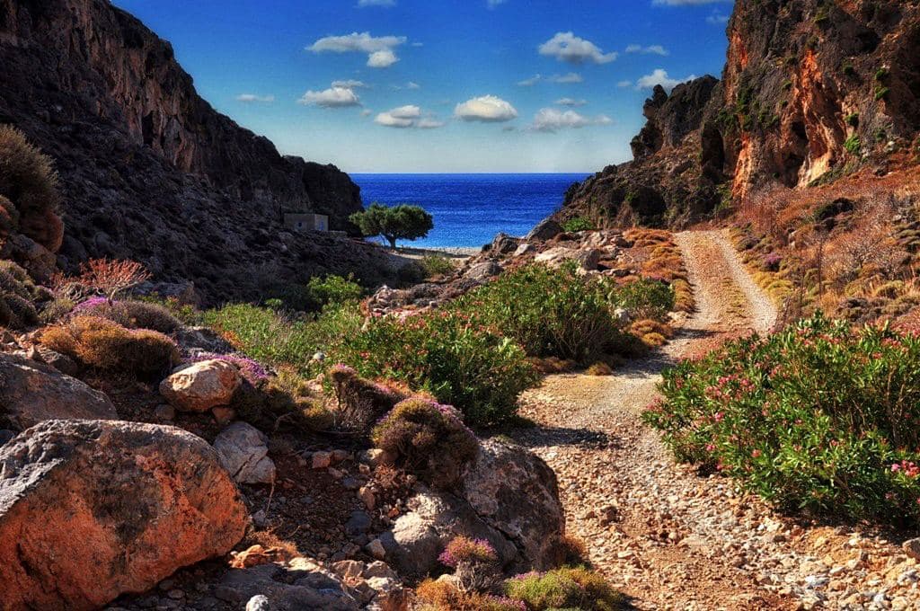
The gorge of Agia Irini is formed near the small town of Ziros, starts from the village Agia Irini (St Irene) and ends on the amazing beach of Agia Irini . Through the gorge runs an old trail that heads to the area of Xerokambos .
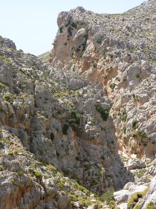
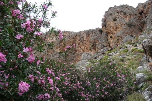
Before reaching the sea, it merges with the second gorge of Platyvolo, that drains the small plateau of Hametoulo , at the point where the dirt road passes to the beach. Both canyons are very wild, rocky, with steep slopes and high walls.
Especially the westernmost of the two branches is quite eerie and dangerous for those who have no experience of hiking in canyons (still it is not technical). Hiking in the gorge takes 2-3 hours, depending on your pace.
The steep slopes (the gorge starts at 500m altitude and ends at the sea) causes a great stress on the knees. There is no signed trail, so you have to find your way alone.
Schreibe die erste Bewertung
Bewertung abgeben für Agia Irini Gorge (Ziros)