River Mouselas
- km · Länge
- 1.8
- km · Rethymno
- 15

20 in der NäheKavros beach, Church of Agia Paraskevi at Dramia, Episkopi beach
Die Geschichte lesen
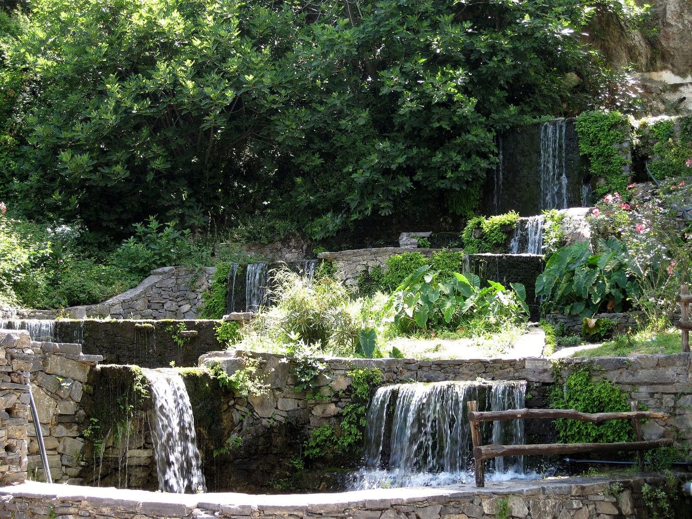
The river Mouselas flows through the valleys that form east of the White Mountains and flow into the western boundary of the long beach of Episkopi , in the large bay of Almyros that has the most rivers in Crete. It is the natural border of the prefectures of Chania and Rethymno , as the sign on the bridge of Mouselas on the main road informs us.
At the estuary of Mouselas, it is believed that the ancient city of Hydramia was built, part of which is submerged in the sea. Xenion mentioned the city in "Kritika" as the port of Lappa , which is the current town of Argyroupolis .
Even today, after centuries, the place name is preserved as the village at the exit of Mouselas is called Dramia . Most of the water of the river comes from the rich springs of Argyroupoli .
However, its course begins even further south of the beautiful town, as it initially gathers the waters of Asi Gonia and Myriokefala , initially in a relatively rocky landscape. Then it passes east of the massif of Omanite , where it is fed by the springs of Argyroupoli , and from there, it continues its course to the sea along a fertile valley.
Schreibe die erste Bewertung
Bewertung abgeben für River Mouselas